

Mapa topográfico Charleston
Haga clic en el mapa para ver la altitud.
Acerca de este mapa
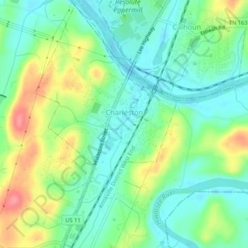
Nombre: Mapa topográfico Charleston, altitud, relieve.
Altitud media: 234 m
Altitud mínima: 206 m
Altitud máxima: 288 m
Otros mapas topográficos
Haga clic en un mapa para ver su topografía, su altitud y su relieve.


Red Clay State Historic Park
United States > Tennessee > Bradley County
Red Clay State Historic Park is situated on approximately 263 acres (1.06 km2) of land in a rural part of Bradley County, Tennessee, with the Tennessee–Georgia state line and the town of Cohutta, Georgia, forming the southern boundary. It is located in the Ridge and Valley physiographic province of the…
Altitud media: 283 m


