

Mapa topográfico Middle Tennessee
Haga clic en el mapa para ver la altitud.
Acerca de este mapa
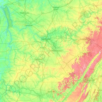
Nombre: Mapa topográfico Middle Tennessee, altitud, relieve.
Lugar: Middle Tennessee, Tennessee, United States (34.98825 -88.07053 36.67812 -84.65953)
Altitud media: 251 m
Altitud mínima: 96 m
Altitud máxima: 874 m
Otros mapas topográficos
Haga clic en un mapa para ver su topografía, su altitud y su relieve.





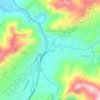
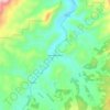
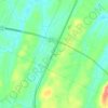
Ocoee
United States > Tennessee > Polk County
Its elevation is 797 feet (243 m), and it is located at 35°7′28″N 84°43′6″W / 35.12444°N 84.71833°W / 35.12444; -84.71833 (35.1245194, -84.7181327). Ocoee is located at the intersection of US 64/US 74 and US 411. The Ocoee River flows nearby.
Altitud media: 245 m
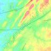
Roan Mountain State Park
United States > Tennessee > Carter County > Roan Mountain
Roan Mountain State Park hosts a variety of outdoor activities including hiking, mountain biking, camping, cross-country skiing (during snowy, winter months), fishing, and swimming. A heated swimming pool is open from Memorial Day to mid-August. At an elevation of 2,972 feet (906 m), the outdoor swimming pool…
Altitud media: 988 m






Edwin Warner Park
United States > Tennessee > Davidson County > Nashville > Devonshire Manor
Altitud media: 198 m














Barfield Crescent Park
United States > Tennessee > Rutherford County > Murfreesboro
Altitud media: 201 m