
Haz una donación
Mapa topográfico Atlantic Coastal Plain
Haga clic en el mapa para ver la altitud.
Haz una donación
Atlantic Coastal Plain
The province's average elevation is less than 900 meters above sea level and extends some 50 to 100 kilometers inland from the ocean. The coastal plain is normally wet, including many rivers, marsh, and swampland. It is composed primarily of sedimentary rock and unlithified sediments and is primarily used for agriculture. The Atlantic Coastal Plain includes the Carolina Sandhills region as well as the Embayed and Sea Island physiographic provinces. The Atlantic Coastal Plain is sometimes subdivided into northern and southern regions, specifically the Mid-Atlantic and South Atlantic coastal plains.
Haz una donación
Acerca de este mapa
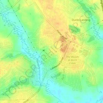
Nombre: Mapa topográfico Atlantic Coastal Plain, altitud, relieve.
Altitud media: 51 m
Altitud mínima: 34 m
Altitud máxima: 66 m
Haz una donación