
Gracias por apoyar a este sitio ❤️
Haz una donación
Haz una donación
Mapa topográfico Worsley
Haga clic en el mapa para ver la altitud.
Gracias por apoyar a este sitio ❤️
Haz una donación
Haz una donación
Worsley
Worsley is a hamlet in northern Alberta, Canada within Clear Hills County. It is located in the Peace Country, at the northern end of Highway 726, approximately 18 km (11 mi) north of Highway 64, 59 km (37 mi) northwest of Hines Creek and 50 km (31 mi) east of the British Columbia border. It lies at an elevation of 650 m (2,130 ft) amidst prairie farmland and ranchland.
Gracias por apoyar a este sitio ❤️
Haz una donación
Haz una donación
Acerca de este mapa
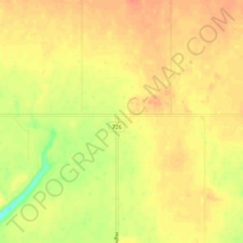
Nombre: Mapa topográfico Worsley, altitud, relieve.
Lugar: Worsley, Clear Hills County, Alberta, Canada (56.48768 -119.15315 56.52768 -119.11315)
Altitud media: 646 m
Altitud mínima: 617 m
Altitud máxima: 660 m
Gracias por apoyar a este sitio ❤️
Haz una donación
Haz una donación